AGREM Field Software
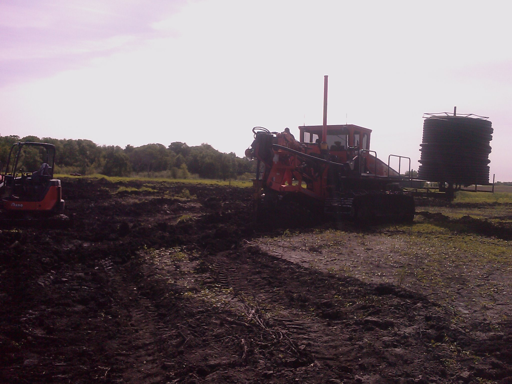
AGREM Field Software combines the capabilities of the AGREM Installation Software and the ability to collect and record RTK survey points used for the creation of topographical maps. With these points, you can then send the survey to AGREM to generate water management designs for your installation. Once the designs are complete, all you need to do is import the design and you are ready to install!
Included:
Ability to take designs to the field with GPS locations, depths, and grades
Guidance during installation
Recording of installation
Ability to review AGREM map and designs in field
Ability to survey fields using RTK
Ability to create and review topographical maps
Not Included:
Ability to create tile drainage designs
I use RTK during planting, spraying and harvest. Can't I just send AGREM those survey points and AGREM can make a design with them? Also, can I use LIDAR? Yah, and what about a drone?
Sometimes yes, and most of the time no. We at AGREM are pretty picky about how surveys are done. After all, all good water management designs start first with a good survey. Based on how you do your passes and where your RTK base station is located matters a lot. The best way to know if we can use your points is to send it to us; we can see how close the accuracy is and whether or not we can use the points. As for LIDAR and drones, we have had the opportunity to compare these maps to RTK survey maps, and so far we have found that LIDAR and drones are not yet accurate enough for subsurface tile design. We are always checking though for alternatives to RTK surveys; once we know of a better way, we will be sure to incorporate the new methods.